The raw GPS data from the BigRedBee APRS was very useful. Saved every 30 seconds, it provided a much better estimate of ascent rate, and a better view of descent rate at high altitudes. With the prior revision of burst altitude and a better ascent rate, the balloon diameter at burst was also revised - downwards.
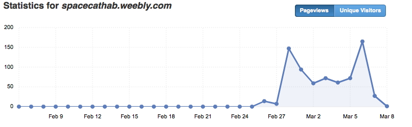
Not that signs and symbols count a hoot, but the stats for this site today looked somewhat ... cat-like:
Not that signs and symbols count a hoot, but the stats for this site today looked somewhat ... cat-like:
 RSS Feed